I’m excited to be getting into Civil 3d 2025, and I want to share a few of my favorite new features.
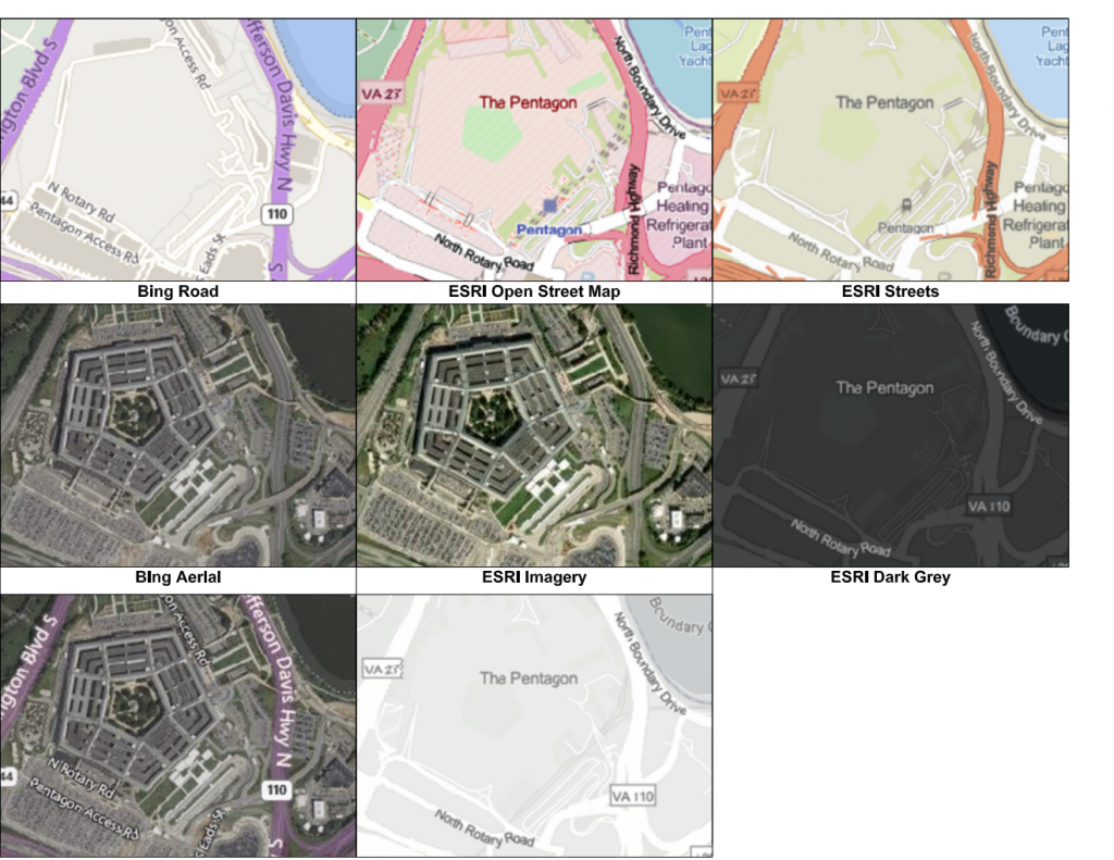
Lets take a look at the new ESRI Map options that we have available. This is included in the core AutoCAD Product, not just Civil 3d!

The 3 options on the left have been in AutoCAD for some time. The 5 on the right, are new. I really like the ESRI Open Street Map Option. It has a very familiar look for those of us who like the look of USGS Topo Maps.
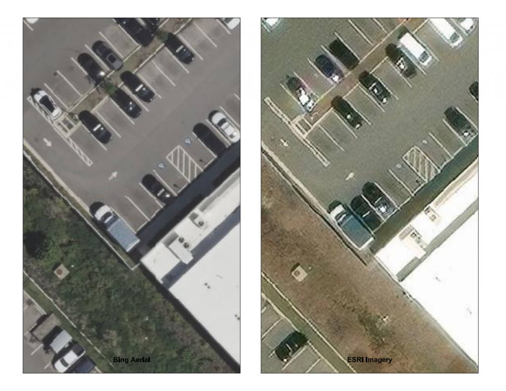
Lets cover what most people are probably asking. “Can I get a better preliminary image for Early Phase design work”. I took two viewports, displayed the left with the current Bing Aerial Imagery, and on the right used the ESRI Imagery Option.

Unfortunately, this doesn’t look like a big improvement. 3rd Party sat image providers like Plex.Earth and Nearmap still look like very good options for this.
With the ESRI map options, I have seen this error more than once:
The Internet connection timed out or the map server is not responding.
Unable to capture an image at the specified location.
Keep this issue in mind. I didn’t see this issue when I was creating my GEOMAPIMAGE for the demo above, I was doing some more testing and seen this error above. While I was seeing this issue creating new GEOMAPIMAGE objects, existing ones continued to work.
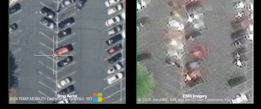
I also saw these funky areas like below. On the right is the new Imagery option, and something very weird is going on here.

All tests done on Civil 3d 2025.01, I will update you if it works better in 2025.1.
